
Relocation Survey on Rocky Terrain
Relocation survey fieldwork beside a rocky, fenced site, showing a total-station setup along a narrow access path, large boulders, banana plants, and on-site review of a laptop and paper record.
View project photos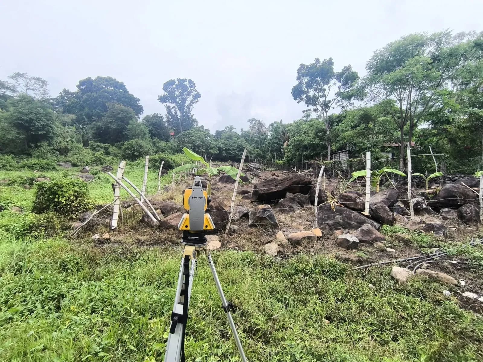
The Project Story
Relocation Survey Fieldwork on Rocky Ground
A relocation survey locates a property's boundaries on the ground using its title or approved survey plan. Field measurements are checked against those records to help landowners understand where their property lies.
This project documents relocation survey fieldwork beside a fenced site with large boulders, young banana plants, and dense trees. The service is confirmed as a relocation survey; the project location is awaiting confirmation.
A Total-Station Setup beside the Access Path
Two views show a tripod-mounted total station beside a narrow concrete path. One looks toward the rocky site, while the other looks along the path beside a wall covered with flowering plants. A wider view shows the uneven ground and people farther into the site.
A total station measures angles and distances during survey fieldwork. The photographs show the equipment and site conditions, but do not establish that a visible fence, wall, or path follows a legal property boundary or confirm a particular survey result.
Reviewing Records on Site
The portrait photograph shows two people reviewing a laptop and an open paper record beside the planted wall. It adds a closer view of the on-site review to the wider photographs of the equipment and terrain.
Visible faces, readable record and instrument-screen details, and the personal name on the property sign are permanently obscured in the published files. The gallery and full-image views use these same privacy-protected photographs.
Project Photographs
4 photographs from this project. Select a photograph to view the full image in a new tab.


Need a Relocation Survey?
Looking for a land surveyor in Negros Occidental or Negros Oriental? Tell us where your property is and which documents you have available. We will help you understand the next steps.
Request a survey quote